Bay St. Louis Harbor: How the Rebuild Reshaped Old Town
August 13, 2026
August 13, 2026
The tide was going out the evening I stood on Jimmy Rutherford Pier and watched a kid reel in something too small to keep. Two piers over, a trawler idled toward an open slip while its captain radioed the dockmaster. Behind me, the smell of garlic butter drifted from a kitchen a block up Beach Boulevard. Nobody on that pier owned a boat. Nobody needed to.
That's the detail that gets lost in every mention of the "new harbor." Bay St. Louis rebuilt its municipal marina after Hurricane Katrina into a 163-slip facility, and most write-ups stop there, as if the story is about boat owners securing a place to park. It isn't. Walk the numbers and a different picture shows up: the harbor built far more public space than private dockage, and the part everyone actually uses every evening isn't the part with a lease attached.
Here's the split. The marina has 163 full-service slips, leased first-come, first-served, with 12 of them ADA accessible. Those slips are for boat owners, full stop. You need a lease to tie up there.
Everything else built alongside those slips is open to anyone who walks down from Old Town. The Jimmy Rutherford Fishing Pier runs roughly 1,100 linear feet along the harbor's northern edge, with four covered platforms and a 30-by-50-foot fishing platform, part of it roofed, all of it free and open to the public. Add the harbor's 155-by-60-foot events deck, more than 9,000 square feet of open-air gathering space, and the public footprint dwarfs the private one. A boat owner gets a rectangle of water. Everyone else gets over a thousand feet of shoreline built specifically for standing on it.
That ratio is the reason the harbor reads less like marina infrastructure and more like a park with a fuel dock attached. The slips are the part that generates lease revenue. The pier and the deck are the part that turned a working waterfront into a place residents actually go.
The covered sections on Rutherford Pier aren't decorative. Gulf Coast sun in July makes an uncovered pier unusable by mid-morning, and a sudden squall can end a fishing session in minutes. Four covered platforms plus a partially roofed fishing deck mean the pier stays functional across more hours and more months than an open structure would. That's a design decision aimed at the person who shows up at 6 p.m. after work, not the boater running a 40-footer through for a weekend.
It also means the pier does double duty as shade and shelter for anyone walking the seawall who isn't fishing at all. On an August evening, that matters more than most amenity lists let on.
The harbor carries a designation that sounds bureaucratic until you connect it to what actually happens after a hurricane season. It's the Mississippi Gulf Coast's first and only Clean and Resilient Marina, a status tied to construction and operating standards built for a coastline that floods. The practical payoff shows up later, not on opening day. The city's harbor page currently lists a public notice for FEMA funding of harbor dredging, meaning the basin's depth is being actively maintained rather than left to silt in until the next disaster forces a fix.
That distinction matters for anyone who treats the harbor as a fixed backdrop. It isn't finished the way a building is finished. The dredging notice is proof the facility is still being worked on years after its ribbon-cutting, which is a different kind of reliability than a plaque on a fence post. Dale Partners Architects, the firm that ran the feasibility study and full architectural services for the project, priced the build at roughly $21.1 million, a number that reflects not just slips and pilings but the coordination with FEMA and the Mississippi Emergency Management Agency that resilience certification requires.
None of this would matter if the harbor sat apart from Old Town. It doesn't. The city's own description places it at the foot of Main Street where it meets Beach Boulevard, tucked just below the sea wall. That's not marketing language. It's a walking distance, and boaters who've actually tied up there confirm it in their own words. One reviewer on Waterway Guide summed up the location as "easy walking to old town area with shops and excellent restaurants," and named three stops by name: Sycamore House for dinner, Buttercup on Second Street for breakfast, 200 North Beach for another dinner.
Those aren't hypothetical amenities pulled from a city brochure. They're places a stranger docking a boat for one night found within a few minutes on foot, which tells you something about a resident's actual radius from the water. If you live in Old Town, the harbor isn't a destination you plan a trip around. It's the thing at the bottom of the hill you pass on the way to dinner, and increasingly, it's worth stopping at on purpose.
The old harbor, the one Katrina destroyed, was infrastructure for people who owned boats. The rebuilt version kept that function but added a second one that now does more daily work: a public pier long enough to fish four different stretches of water at once, an events deck large enough to host something bigger than a family cookout, and a location close enough to Main Street that none of it requires a car.
That's the shift a slip count alone doesn't capture. The harbor stopped being a place you visit because you own a boat and became a place you visit because you live nearby. The rebuild didn't just replace what Katrina took. It rebalanced who the space is actually for, and the balance now tips toward the walker, not the owner.
If you're already making that walk most evenings, from Court Street down to the water and back past Buttercup or Sycamore House, you already know the harbor differently than the marina listings do. That's the version worth knowing. It's also the version that explains why a newly built condominium a few blocks up Court Street, in the same historic district, treats walkability to the water as a core part of daily life rather than a footnote.
If you're curious what that proximity actually looks like day to day, from a rooftop view of the same shoreline to the short walk down to the pier, 124 Court is happy to show you around. Schedule a consultation and see the harbor from the other end of the walk.
Stay up to date on the latest real estate trends.
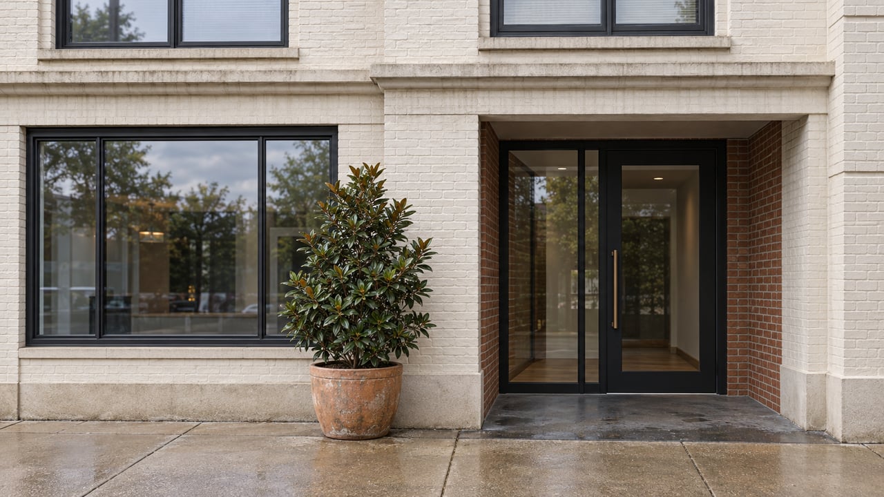
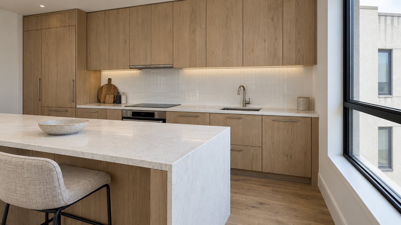
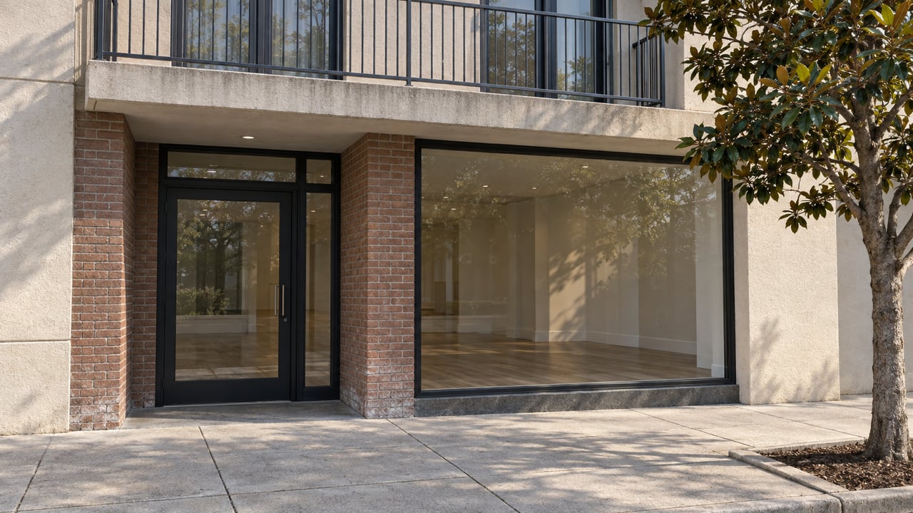
Residential and commercial units available for consideration. For more information or to arrange a site visit, please call developer, Steve Drown, 228-313-1063 or email [email protected]
GET IN TOUCH WITH OUR TEAM TO LEARN MORE
124 COURT ST BAY ST LOUIS, MS 39520